Walking field notes
Paths Above the Shore
The right walk is one you can complete comfortably in the conditions you actually meet. A memorable fjord day does not need a summit or a photograph taken beside a drop.
Choose by terrain, not distance alone
A short line on a walking map can conceal a steep climb, slippery roots and exposed rock. Look at total ascent, the route description and whether the return follows the same path. A walk described as easy by a fit local may still be demanding after a long travel day or for someone unfamiliar with uneven ground.
Start with current information from the local visitor service, land manager or a recognised route source such as UT.no. Check whether bridges, parking access or seasonal transport affect the outing. Read the route’s specific cautions rather than relying on a broad difficulty colour or an attractive social media image.
Your group moves at the pace of its least comfortable member. Children, tired drivers and people uneasy with heights may need a different route, not merely more encouragement. A lower village path can be a better shared experience than a high trail that leaves someone frightened or exhausted.
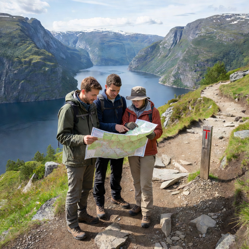
Famous names are not interchangeable walks
Preikestolen above Lysefjord, Trolltunga near Odda and routes toward Skåla near Loen are very different undertakings. Their popularity does not make them short roadside stops. They require route-specific preparation, and some conditions may call for a qualified local guide or a different plan entirely.
The walk from parking to a viewpoint also belongs in the day’s schedule. Do not combine a substantial hike with a distant, non-flexible evening ferry simply because a navigation app suggests the driving fits. Fatigue affects the descent and the drive afterward, especially on unfamiliar narrow roads.
Near Flåm, walks toward places such as Brekkefossen still require attention to steps, gradient and wet surfaces. At lower elevations, a waterfront route or village lane may be a practical alternative, but check for traffic, private access and the actual walking surface. “Low-level” is not a guarantee of accessibility.
Prepare before leaving the car or quay
- Read the current mountain forecast and local warnings.
- Carry waterproof and insulating layers, even after a warm start.
- Use footwear suited to wet and uneven ground.
- Take water, food and an additional reserve for delays.
- Save an offline map and carry a reliable backup.
- Keep a charged phone protected from weather and cold.
- Tell someone your intended route and expected return.
- Set a turnaround time that leaves a comfortable daylight margin.
Photograph the landscape without adding risk
Established viewpoints offer an intentional place to pause, but railings and signs still matter. Stay behind barriers and avoid backing toward an edge while looking through a camera. Wind gusts can be stronger at exposed overlooks than they felt beside the parked car.
On a trail, step aside only where the ground is durable and safe. Do not block a narrow passage while waiting for a clear frame. A tripod should not force other walkers toward a drop or onto fragile vegetation. In villages, ask before making identifiable people the main subject, and respect homes, gardens and working quays.
Soft rain, low cloud and reflected light can make an interesting picture without a climb. Keep a short list of legal shoreline stops for days when the high landscape is hidden. Avoid promising yourself a particular sunrise image if reaching it would require unfamiliar exposed terrain in darkness.
Drone use has separate aviation, privacy and local restrictions. Check current rules with the Norwegian Civil Aviation Authority and the relevant land manager before flying; permission to walk somewhere does not automatically mean permission to launch a drone there.
Know where to check and when to ask
This guide is not a route card, live hazard report or substitute for navigation skills. Ask locally when your plans involve snow, exposed ground or uncertain access. For immediate danger, contact the appropriate emergency service; do not use this website’s contact tool for urgent assistance.
- UT.no: route descriptions and outdoor planning
- Norwegian Trekking Association: mountain guidance
- Yr: location-specific weather forecasts
- Varsom: natural hazard information
- Norwegian Civil Aviation Authority: drone rules